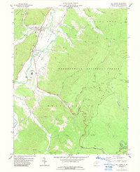
1977 Map of Mill Creek
USGS Topo · Published 1989About this map
The Tygart River flows through a valley defined by significant mid-century institutional and educational infrastructure in this 1970s West Virginia landscape. The village of Huttonsville and the town of Mill Creek serve as the primary residential hubs, linked by the Railroad and the historical Mill Grade. A prominent feature of the local geography is the Huttonsville Correctional Center, situated alongside its own supporting facilities like the Sewage Disposal and Water Tank. Education and community life are anchored by the Tygart Valley High School and several rural houses of worship, including Jerusalem Church and Edwards Chapel.
Find a feature on this map
57 named features on this map. Tap any name to fly to it.
Don’t see what you’re looking for? This feature index may not catch every label — zoom into the map to look around manually.
Map Details
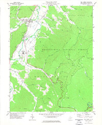
Editions of this 1977 Mill Creek Map
2 editions found
Other maps of this area

1889 · Beverly
USGS Topo · 1:125,000

1892 · Beverly
USGS Topo · 1:125,000

1893 · Buckhannon
USGS Topo · 1:125,000

1896 · Buckhannon
USGS Topo · 1:125,000

1897 · Buckhannon
USGS Topo · 1:125,000

1909 · Elkins
USGS Topo · 1:62,500

1912 · Sago
USGS Topo · 1:48,000

1913 · Pickens
USGS Topo · 1:48,000

1914 · Sago
USGS Topo · 1:62,500

1915 · Pickens
USGS Topo · 1:62,500