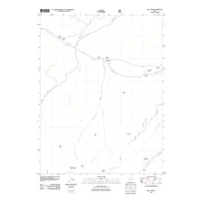
2011 Map of Mill Fork
USGS Topo · Published 2011About this map
Mill Fork and its surrounding canyons are defined by the convergence of steep drainage systems and narrow mountain passes in the early 21st century. The settlement area, situated along Soldier Creek, serves as a focal point for the region's historical geography, notably preserved at the Mill Fork Cemetery. The landscape is a complex of named ridges and hollows, including Big Ridge and Knoll Hollow, which dictate the paths of early travel routes like Sheep Creek Rd and Skyline Dr.
Find a feature on this map
30 named features on this map. Tap any name to fly to it.
Don’t see what you’re looking for? This feature index may not catch every label — zoom into the map to look around manually.
Map Details
Editions of this 2011 Mill Fork Map
This is the sole edition of this map. No revisions or reprints were ever made.
Other maps of this area

1885 · Salt Lake
USGS Topo · 1:250,000

1885 · Manti
USGS Topo · 1:250,000

1895 · Manti
USGS Topo · 1:250,000

1907 · Strawberry Valley
USGS Topo · 1:125,000

1909 · Strawberry Valley
USGS Topo · 1:125,000

1939 · Soldier Summit
USGS Topo · 1:62,500

1942 · Soldier Summit
USGS Topo · 1:62,500

1954 · Salt Lake City
USGS Topo · 1:250,000

1956 · Price
USGS Topo · 1:250,000

1958 · Salt Lake City
USGS Topo · 1:250,000