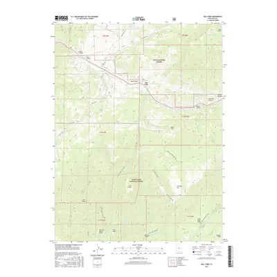
2017 Map of Mill Fork
USGS Topo · Published 2017About this map
Mill Fork and its surrounding canyonlands occupy this 2017 survey, where the Uinta National Forest meets the Manti-LaSal National Forest. The landscape is defined by deep drainage systems like Soldier Cr and Dairy Fork, flanked by high-elevation landmarks such as Teat Mountain and Davis Hill. The presence of the Mill Fork Cem serves as a small, grounded connection to the area's early residents, while named hollows such as Knoll Hollow and Water Hollow suggest the localized topography that historically guided movement through the mountains.
Find a feature on this map
43 named features on this map. Tap any name to fly to it.
Don’t see what you’re looking for? This feature index may not catch every label — zoom into the map to look around manually.
Map Details
Editions of this 2017 Mill Fork Map
This is the sole edition of this map. No revisions or reprints were ever made.
Other maps of this area

1885 · Salt Lake
USGS Topo · 1:250,000

1885 · Manti
USGS Topo · 1:250,000

1895 · Manti
USGS Topo · 1:250,000

1907 · Strawberry Valley
USGS Topo · 1:125,000

1909 · Strawberry Valley
USGS Topo · 1:125,000

1939 · Soldier Summit
USGS Topo · 1:62,500

1942 · Soldier Summit
USGS Topo · 1:62,500

1954 · Salt Lake City
USGS Topo · 1:250,000

1956 · Price
USGS Topo · 1:250,000

1958 · Salt Lake City
USGS Topo · 1:250,000