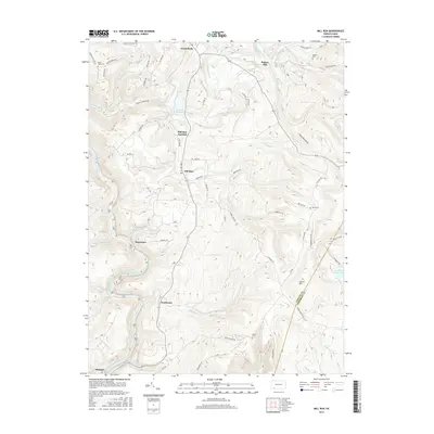
2016 Map of Mill Run
USGS Topo · Published 2016About this map
Mill Run serves as the central hub of this Laurel Highlands landscape, where the waters of Indian Creek and Mill Run Reservoir carve through the terrain near the border of Fayette and Somerset counties. The settlement pattern follows the winding course of the Youghiogheny River, which forms the southwestern boundary near the village of Ohiopyle. This river corridor is marked by notable natural landmarks such as Sugar Run Falls and Jonathan Run Falls, highlighting the area's steep hydraulic transitions. High on the ridges, Laurel Hill rises above a network of rural roads that connect small communities like Normalville and Stewarton. Local history is anchored by several family and community burial grounds, including Mount Tabor Cem, Hillview Cem, and the Imel Cem, providing a clear record of the area's established residential roots and the importance of the mill-driven economy at Rogers Mill.
Find a feature on this map
73 named features on this map. Tap any name to fly to it.
Don’t see what you’re looking for? This feature index may not catch every label — zoom into the map to look around manually.
Map Details
Editions of this 2016 Mill Run Map
This is the sole edition of this map. No revisions or reprints were ever made.
Other maps of this area

1900 · Uniontown
USGS Topo · 1:62,500

1902 · Connellsville
USGS Topo · 1:62,500

1922 · Confluence
USGS Topo · 1:62,500

1922 · Donegal
USGS Topo · 1:62,500

1931 · Connellsville
USGS Topo · 1:62,500

1931 · Uniontown
USGS Topo · 1:62,500

1931 · Confluence
USGS Topo · 1:62,500

1933 · Confluence
USGS Topo · 1:62,500

1935 · Donegal
USGS Topo · 1:62,500

1936 · Connellsville
USGS Topo · 1:62,500
Featured Places
- Lower Turkeyfoot Township, PA
- Dunbar Township, PA
- Springfield Township, PA
- Normalville, Springfield Township
- Fairmont, Springfield Township