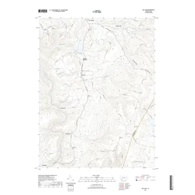
2019 Map of Mill Run
USGS Topo · Published 2019About this map
The Youghiogheny River carves a deep valley through the southwest corner of this region, creating a dramatic landscape marked by Sugar Run Falls and Jonathan Run Falls. The terrain is defined by the high ridge of Laurel Hill, which forms a natural boundary between Fayette and Somerset counties. Small settlements like Mill Run and Stewarton are connected by a network of rural roads such as Mill Run Rd and Whites Bridge Rd, reflecting a dispersed mountain community structure.
Find a feature on this map
84 named features on this map. Tap any name to fly to it.
Don’t see what you’re looking for? This feature index may not catch every label — zoom into the map to look around manually.
Map Details
Editions of this 2019 Mill Run Map
This is the sole edition of this map. No revisions or reprints were ever made.
Other maps of this area

1900 · Uniontown
USGS Topo · 1:62,500

1902 · Connellsville
USGS Topo · 1:62,500

1922 · Confluence
USGS Topo · 1:62,500

1922 · Donegal
USGS Topo · 1:62,500

1931 · Connellsville
USGS Topo · 1:62,500

1931 · Uniontown
USGS Topo · 1:62,500

1931 · Confluence
USGS Topo · 1:62,500

1933 · Confluence
USGS Topo · 1:62,500

1935 · Donegal
USGS Topo · 1:62,500

1936 · Connellsville
USGS Topo · 1:62,500
Featured Places
- Lower Turkeyfoot Township, PA
- Dunbar Township, PA
- Springfield Township, PA
- Normalville, Springfield Township
- Fairmont, Springfield Township