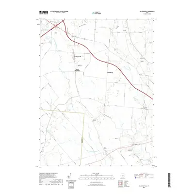
2019 Map of Milledgeville
USGS Topo · Published 2019About this map
Milledgeville and the neighboring hamlets of South Plymouth and Octa anchor this agricultural landscape along the Clinton and Fayette County line. The terrain is defined by a dense network of family-named cemeteries and rural intersections, reflecting a long-settled farming tradition. Waterways like Rattlesnake Creek and Sugar Creek are supplemented by man-made drainage systems such as Missouri Ditch, illustrating how the land was adapted for cultivation. Numerous burial sites, including the Jefferson - Jasper Township Cem, Asbury Chapel Cem, and the Mallow-Perrill Cem, provide an exceptionally detailed record for genealogists. The road network connects small clusters like Jasper Mills and Luray with larger transit corridors such as Old US Rte 35, showcasing the enduring spatial organization of this part of Ohio.
Find a feature on this map
81 named features on this map. Tap any name to fly to it.
Don’t see what you’re looking for? This feature index may not catch every label — zoom into the map to look around manually.
Map Details
Editions of this 2019 Milledgeville Map
This is the sole edition of this map. No revisions or reprints were ever made.
Other maps of this area

1906 · Mt Sterling
USGS Topo · 1:62,500

1916 · Octa
USGS Topo · 1:62,500

1917 · Greenfield
USGS Topo · 1:62,500

1917 · Sabina
USGS Topo · 1:62,500

1943 · Sabina
USGS Topo · 1:62,500

1944 · Greenfield
USGS Topo · 1:62,500

1944 · Octa
USGS Topo · 1:62,500

1947 · Columbus
USGS Topo · 1:250,000
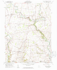
1960 · New Martinsburg
USGS Topo · 1:24,000

1961 · Columbus
USGS Topo · 1:250,000