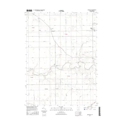
2016 Map of Miller City
USGS Topo · Published 2016About this map
The Blanchard River carves a winding path through this western Ohio landscape, anchoring a series of small rural settlements and agricultural townships. The village of Miller City stands as a focal point in the northeast, marked by the Saint Nicholas Cem, while other small communities like Kieferville, Cuba, and Hector are scattered across the grid of section lines and county roads. The drainage pattern is complex, with Duck Run and the Miller City Cutoff feeding into the main river channel, alongside several creeks including Bear Cr and Deer Cr.
Find a feature on this map
104 named features on this map. Tap any name to fly to it.
Don’t see what you’re looking for? This feature index may not catch every label — zoom into the map to look around manually.
Map Details
Editions of this 2016 Miller City Map
This is the sole edition of this map. No revisions or reprints were ever made.
Other maps of this area
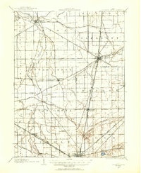
1906 · Columbus Grove
USGS Topo · 1:62,500
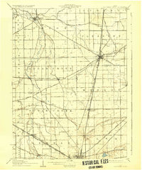
1908 · Columbus Grove
USGS Topo · 1:62,500
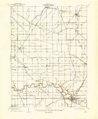
1908 · Ottawa
USGS Topo · 1:62,500
1909 · Continental
USGS Topo · 1:62,500
1911 · Delphos
USGS Topo · 1:62,500
1944 · Delphos
USGS Topo · 1:62,500

1953 · Fort Wayne
USGS Topo · 1:250,000

1953 · Muncie
USGS Topo · 1:250,000

1956 · Muncie
USGS Topo · 1:250,000

1956 · Fort Wayne
USGS Topo · 1:250,000