2023 Map of Miller City
USGS Topo · Published 2023About this map
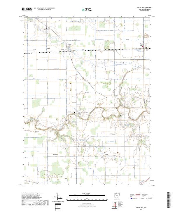
Miller City and the surrounding farmland of Putnam County are defined by a rhythmic grid of township roads and the winding course of the Blanchard River. This 2023 survey illustrates a landscape of small agricultural settlements, including Kieferville, Cuba, and Croswell, many of which grew around early rail or road junctions. Genealogists will find significant value in the high density of family and parish burial grounds recorded here, such as the Asa Varner Cem, Varner Cem, and Saint Isidore Cem. The drainage patterns of North Powell Creek and South Powell Creek speak to the engineering required to manage the flat, productive terrain of Northwest Ohio, visible in features like the Miller City Cutoff which alters the natural flow of the local creek system.
Find a feature on this map
70 named features on this map. Tap any name to fly to it.
Don’t see what you’re looking for? This feature index may not catch every label — zoom into the map to look around manually.
Map Details
Editions of this 2023 Miller City Map
This is the sole edition of this map. No revisions or reprints were ever made.
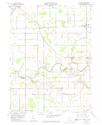
Historical Maps of Miller City Through Time
Featured Locations
- Palmer Township, OH
- Perry Township, OH
- Union Township, OH
- Jackson Township, OH
- Miller City, Palmer Township