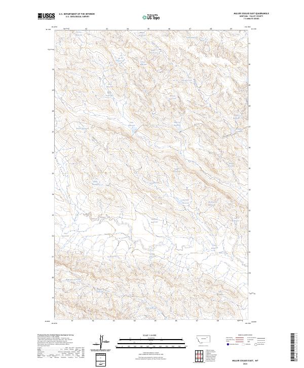
2024 Map of Miller Coulee East
USGS Topo · Published 2024About this map
Miller Coulee and the surrounding rangeland of Valley County define this landscape, where a dense network of small reservoirs manages the drainage of intermittent watercourses. The terrain is shaped by the winding paths of Beaver Creek and Coyote Creek, which are intercepted by dozens of named catchments such as Beaver Reservoir, Judy Reservoir, and Big Fork Reservoir. This concentration of water management features, often bearing local or family names like McIntyre Reservoir and Robin Reservoir, reflects the vital importance of seasonal water storage in this section of eastern Montana.
Find a feature on this map
38 named features on this map. Tap any name to fly to it.
Don’t see what you’re looking for? This feature index may not catch every label — zoom into the map to look around manually.
Map Details
Editions of this 2024 Miller Coulee East Map
This is the sole edition of this map. No revisions or reprints were ever made.
Other maps of this area

1943 · Glasgow
USGS Topo · 1:125,000

1954 · Jordan
USGS Topo · 1:250,000

1954 · Glasgow
USGS Topo · 1:250,000

1956 · Jordan
USGS Topo · 1:250,000

1957 · Glasgow
USGS Topo · 1:250,000

1958 · Glasgow
USGS Topo · 1:250,000

1958 · Jordan
USGS Topo · 1:250,000

1958 · Engstrom Ranch
USGS Topo · 1:24,000

1958 · Miller Coulee
USGS Topo · 1:62,500

1958 · Collins Ranch
USGS Topo · 1:62,500