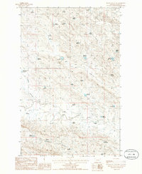
1985 Map of Miller Coulee East
USGS Topo · Published 1986About this map
Gideon Ranch and the Blanchard Cabin anchor this 1980s landscape in Valley County, Montana, where a complex network of man-made water management defines the semi-arid terrain. The drainage systems of Miller Coulee and Sage Hen Creek are marked by dozens of small reservoirs, each given specific, often whimsical names that suggest local significance or fishing potential.
Find a feature on this map
39 named features on this map. Tap any name to fly to it.
Don’t see what you’re looking for? This feature index may not catch every label — zoom into the map to look around manually.
Map Details
Editions of this 1985 Miller Coulee East Map
This is the sole edition of this map. No revisions or reprints were ever made.
Other maps of this area

1943 · Glasgow
USGS Topo · 1:125,000

1954 · Jordan
USGS Topo · 1:250,000

1954 · Glasgow
USGS Topo · 1:250,000

1956 · Jordan
USGS Topo · 1:250,000

1957 · Glasgow
USGS Topo · 1:250,000

1958 · Glasgow
USGS Topo · 1:250,000

1958 · Jordan
USGS Topo · 1:250,000

1958 · Engstrom Ranch
USGS Topo · 1:24,000

1958 · Miller Coulee
USGS Topo · 1:62,500

1958 · Collins Ranch
USGS Topo · 1:62,500