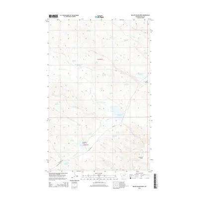
2014 Map of Miller Coulee West
USGS Topo · Published 2014About this map
Miller Coulee and Wilderness Coulee define this ranching landscape in Valley County, Montana. The terrain is marked by a complex network of man-made water storage, reflecting the necessity of irrigation and livestock watering in this semi-arid region. Family-named landmarks such as Kaulitski Reservoir, Arrambide Reservoir, and Itcaina Reservoir point to the homesteading history and local land use. The drainage system is anchored by Little Beaver Creek and Beaver Cr, which are supplemented by various detention structures like the Tomahawk Detention Reservoir and Grub Detention Reservoir. Local transit is limited to unpaved routes such as Beaver Rd and Little Beaver Rd, which follow the natural contours of the drainages and coulees.
Find a feature on this map
38 named features on this map. Tap any name to fly to it.
Don’t see what you’re looking for? This feature index may not catch every label — zoom into the map to look around manually.
Map Details
Editions of this 2014 Miller Coulee West Map
This is the sole edition of this map. No revisions or reprints were ever made.
Other maps of this area

1943 · Glasgow
USGS Topo · 1:125,000

1954 · Jordan
USGS Topo · 1:250,000

1954 · Glasgow
USGS Topo · 1:250,000

1956 · Jordan
USGS Topo · 1:250,000

1957 · Glasgow
USGS Topo · 1:250,000

1958 · Glasgow
USGS Topo · 1:250,000

1958 · Jordan
USGS Topo · 1:250,000

1958 · Engstrom Ranch
USGS Topo · 1:24,000

1958 · Miller Coulee
USGS Topo · 1:62,500

1958 · Collins Ranch
USGS Topo · 1:62,500