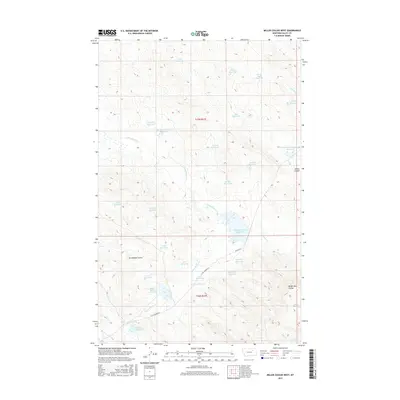
2017 Map of Miller Coulee West
USGS Topo · Published 2017About this map
Miller Coulee and Arrambide Coulee define this arid landscape in Valley County, where water management is the primary human imprint on the terrain. The network of drainage channels and low-lying basins is heavily modified by a complex system of catchment and control, featuring numerous small-scale water bodies like Cisco Reservoir, Sage Hen Reservoir, and Hardpan Reservoir. The existence of specialized structures such as the Big Rock Detention Reservoir and Grub Detention Reservoir suggests a focused effort to manage seasonal runoff across the northern plains. Transport through this area is limited to a few arterial routes, including Beaver Rd and Little Beaver Rd, which provide access to the various reservoirs and livestock watering points that dot the sections of t27n r37e and t26n r37e. The map illustrates a ranching-focused environment where every coulee and creek, from Little Beaver Creek to Wilderness Coulee, is integral to the local hydrology.
Find a feature on this map
38 named features on this map. Tap any name to fly to it.
Don’t see what you’re looking for? This feature index may not catch every label — zoom into the map to look around manually.
Map Details
Editions of this 2017 Miller Coulee West Map
This is the sole edition of this map. No revisions or reprints were ever made.
Other maps of this area

1943 · Glasgow
USGS Topo · 1:125,000

1954 · Jordan
USGS Topo · 1:250,000

1954 · Glasgow
USGS Topo · 1:250,000

1956 · Jordan
USGS Topo · 1:250,000

1957 · Glasgow
USGS Topo · 1:250,000

1958 · Glasgow
USGS Topo · 1:250,000

1958 · Jordan
USGS Topo · 1:250,000

1958 · Engstrom Ranch
USGS Topo · 1:24,000

1958 · Miller Coulee
USGS Topo · 1:62,500

1958 · Collins Ranch
USGS Topo · 1:62,500