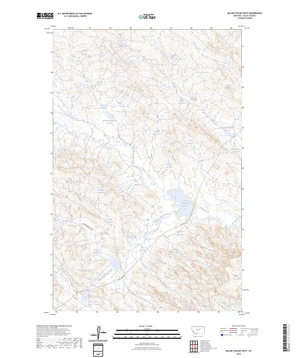
2024 Map of Miller Coulee West
USGS Topo · Published 2024About this map
Arrambide Coulee and Miller Coulee define the rolling drainage basins of Valley County in this modern survey. The landscape is characterized by an intricate network of water management features, including the large Grub Detention Reservoir and Tomahawk Detention Reservoir, which serve as vital infrastructure for the arid plains. These reservoirs, often named for local figures or descriptive landmarks such as Kaulitski Reservoir and Thunderhead Pit Reservoir, illustrate the significant human modification of the prairie to sustain livestock and agricultural operations. Access across this sparsely populated region is provided by local routes like Little Beaver Rd and Beaver Rd, tracing the paths between South Fork Beaver Creek and Sage Hen Creek. The map offers a clear view of the ranching-driven geography where every water source, from the Cisco Reservoir to Aldrin Reservoir, is a named and essential landmark.
Find a feature on this map
33 named features on this map. Tap any name to fly to it.
Don’t see what you’re looking for? This feature index may not catch every label — zoom into the map to look around manually.
Map Details
Editions of this 2024 Miller Coulee West Map
This is the sole edition of this map. No revisions or reprints were ever made.
Other maps of this area

1943 · Glasgow
USGS Topo · 1:125,000

1954 · Jordan
USGS Topo · 1:250,000

1954 · Glasgow
USGS Topo · 1:250,000

1956 · Jordan
USGS Topo · 1:250,000

1957 · Glasgow
USGS Topo · 1:250,000

1958 · Glasgow
USGS Topo · 1:250,000

1958 · Jordan
USGS Topo · 1:250,000

1958 · Engstrom Ranch
USGS Topo · 1:24,000

1958 · Miller Coulee
USGS Topo · 1:62,500

1958 · Collins Ranch
USGS Topo · 1:62,500