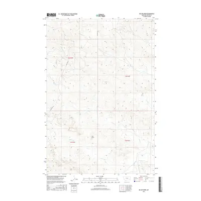
2017 Map of Miller Creek
USGS Topo · Published 2017About this map
Tongue River winds through the southeastern corner of this Custer County landscape, serving as the primary drainage for a network of ephemeral and perennial creeks. The terrain is defined by the prominent Twin Buttes and a complex system of draws and ridges that feed into Miller Creek and Sixmile Creek. Rural infrastructure is centered around a few key access routes, including Moon Creek Rd and N 6 Mile Rd, which provide passage through the township and range sections of this cattle-ranching country. The map illustrates the hydrological patterns of the northern high plains, where named features like Forest Creek, Horse Creek, and Miles Creek carve through the breaks. This area, largely defined by its public land surveys, remains a testament to the sparse, water-dependent settlement patterns of eastern Montana.
Find a feature on this map
17 named features on this map. Tap any name to fly to it.
Don’t see what you’re looking for? This feature index may not catch every label — zoom into the map to look around manually.
Map Details
Editions of this 2017 Miller Creek Map
This is the sole edition of this map. No revisions or reprints were ever made.
Other maps of this area

1953 · Miles City
USGS Topo · 1:250,000

1954 · Hardin
USGS Topo · 1:250,000

1954 · Ekalaka
USGS Topo · 1:250,000

1954 · Forsyth
USGS Topo · 1:250,000

1956 · Ekalaka
USGS Topo · 1:250,000

1957 · Miles City
USGS Topo · 1:250,000

1957 · Hardin
USGS Topo · 1:250,000

1957 · Forsyth
USGS Topo · 1:250,000

1958 · Miles City
USGS Topo · 1:250,000

1958 · Ekalaka
USGS Topo · 1:250,000