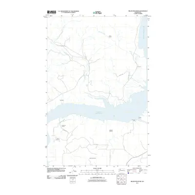
2011 Map of Miller Mountain
USGS Topo · Published 2011About this map
Franklin D Roosevelt Lake dominates the central landscape of this Stevens County quadrangle, where the Columbia River’s impounded waters meet a complex network of rugged drainages. The map illustrates a transitional zone where high-elevation landmarks like Miller Mountain and the steep incline of the Slide overlook the reservoir. Small landings and camps, such as Gerome Landing and Enterprise Camp, represent the contemporary human footprint along the shoreline, connected by a winding network of rural routes including Enterprise Rd and Wieble Rd.
Find a feature on this map
24 named features on this map. Tap any name to fly to it.
Don’t see what you’re looking for? This feature index may not catch every label — zoom into the map to look around manually.
Map Details
Editions of this 2011 Miller Mountain Map
This is the sole edition of this map. No revisions or reprints were ever made.
Other maps of this area

1948 · Hunters
USGS Topo · 1:62,500

1948 · Wilmont Creek
USGS Topo · 1:62,500

1948 · Lincoln
USGS Topo · 1:62,500

1948 · Turtle Lake
USGS Topo · 1:62,500

1950 · Lincoln
USGS Topo · 1:62,500

1950 · Turtle Lake
USGS Topo · 1:62,500

1950 · Wilmont Creek
USGS Topo · 1:62,500

1950 · Hunters
USGS Topo · 1:62,500

1953 · Ritzville
USGS Topo · 1:250,000

1954 · Okanogan
USGS Topo · 1:250,000