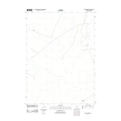
2012 Map of Miller Spring
USGS Topo · Published 2012About this map
Miller Spring and the surrounding high plains of Natrona County are documented here in this 2012 USGS survey. The landscape is characterized by intermittent drainage patterns, most notably the seasonal flow of Dry Cr, and topographic breaks such as Wolf Gap. Sparse settlement is represented by the isolated Riddle Ranch, illustrating the vast ranching heritage that continues to define this region of Wyoming. The terrain includes subtle geographic depressions like Ordway Pocket, providing a clear look at the drainage basins and land use patterns common to the high desert interior during the early 21st century.
Find a feature on this map
5 named features on this map. Tap any name to fly to it.
Don’t see what you’re looking for? This feature index may not catch every label — zoom into the map to look around manually.
Map Details
Editions of this 2012 Miller Spring Map
This is the sole edition of this map. No revisions or reprints were ever made.
Other maps of this area

1951 · Savage Peak
USGS Topo · 1:24,000

1951 · Bucklin Reservoirs
USGS Topo · 1:24,000

1951 · Independence Rock
USGS Topo · 1:24,000

1951 · Lone Mountain
USGS Topo · 1:24,000

1955 · Casper
USGS Topo · 1:250,000

1958 · Casper
USGS Topo · 1:250,000

1959 · Saddle Rock
USGS Topo · 1:24,000

1959 · Miller Spring
USGS Topo · 1:24,000

1959 · Blackjack Ranch
USGS Topo · 1:24,000

1959 · Barlow Gap
USGS Topo · 1:24,000