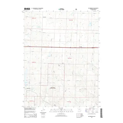
2015 Map of Millersburg NE
USGS Topo · Published 2015About this map
Mark Twain National Forest dominates the southern landscape of this Callaway County region, where the wooded terrain transitions into a network of agricultural plots and rural crossroads. The settlement of Millersburg sits at the southwestern edge, while the hamlets of Earl, Eastville, and Hereford are connected by a grid of county roads and the modern thoroughfare of Interstate 70. This 2015 survey reveals a high concentration of managed water resources, from the expansive Little Dixie Lake to smaller impoundments like Lochwinnoch Reservoir and Doctor Vaughn Lake.
Find a feature on this map
66 named features on this map. Tap any name to fly to it.
Don’t see what you’re looking for? This feature index may not catch every label — zoom into the map to look around manually.
Map Details
Editions of this 2015 Millersburg NE Map
This is the sole edition of this map. No revisions or reprints were ever made.
Other maps of this area

1886 · Jefferson City
USGS Topo · 1:125,000

1890 · Mexico
USGS Topo · 1:125,000

1890 · Moberly
USGS Topo · 1:125,000

1890 · Fulton
USGS Topo · 1:125,000

1894 · Jefferson City
USGS Topo · 1:125,000

1928 · Fulton
USGS Topo · 1:62,500

1931 · Fulton
USGS Topo · 1:62,500

1932 · Mexico
USGS Topo · 1:62,500

1944 · Millersburg
USGS Topo · 1:62,500

1945 · Centralia
USGS Topo · 1:62,500