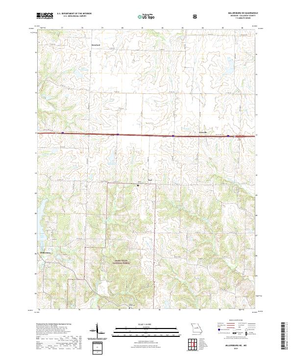
2021 Map of Millersburg NE
USGS Topo · Published 2021About this map
Millersburg and the surrounding rural landscape of Callaway County are defined by a network of creeks and small reservoirs that feed the local watershed. This 2021 update shows the intersection of the Mark Twain National Forest with small farming communities like Hereford, Eastville, and Earl. Water management is a prominent theme, from the Lochwinnoch Reservoir and Little Dixie Lake to the meandering courses of Auxvasse Creek and the Middle River. For those researching local family history, several burial grounds are preserved on the map, including Mount Olivet Cemetery and White Cloud Cemetery. The landscape transitions from the managed forest lands in the south to the structured section lines and county roads of the north, reflecting generations of Missouri's land use patterns.
Find a feature on this map
65 named features on this map. Tap any name to fly to it.
Don’t see what you’re looking for? This feature index may not catch every label — zoom into the map to look around manually.
Map Details
Editions of this 2021 Millersburg NE Map
This is the sole edition of this map. No revisions or reprints were ever made.
Other maps of this area

1886 · Jefferson City
USGS Topo · 1:125,000

1890 · Mexico
USGS Topo · 1:125,000

1890 · Moberly
USGS Topo · 1:125,000

1890 · Fulton
USGS Topo · 1:125,000

1894 · Jefferson City
USGS Topo · 1:125,000

1928 · Fulton
USGS Topo · 1:62,500

1931 · Fulton
USGS Topo · 1:62,500

1932 · Mexico
USGS Topo · 1:62,500

1944 · Millersburg
USGS Topo · 1:62,500

1945 · Centralia
USGS Topo · 1:62,500