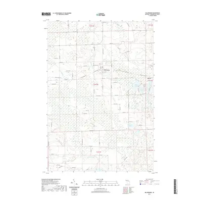
2019 Map of Millersburg
USGS Topo · Published 2019About this map
Millersburg serves as the central hub of this Presque Isle County landscape, where the Ocqueoc River flows through a terrain defined by its glacial lake systems and the N Eastern State Trail. The settlement pattern follows a grid of local highways such as M 68 E and Orcutt Hwy, connecting small clusters like Big Cut to the surrounding township. Genealogists will find the Riverside Cem located just north of the village center, while the eastern portion of the quadrangle is heavily marked by water bodies including Upper Barnhart Lake, Lower Barnhart Lake, and the secluded Gorman Lakes. The Rainy River and its branches, including the E Br Rainy River, drain the southern wetlands toward Rainy Lake, illustrating the complex hydrology that historically shaped local movement and land use in this part of northern Michigan.
Find a feature on this map
79 named features on this map. Tap any name to fly to it.
Don’t see what you’re looking for? This feature index may not catch every label — zoom into the map to look around manually.
Map Details
Editions of this 2019 Millersburg Map
This is the sole edition of this map. No revisions or reprints were ever made.
Other maps of this area

1954 · Alpena
USGS Topo · 1:250,000

1955 · Atlanta
USGS Topo · 1:62,500

1955 · Hillman
USGS Topo · 1:62,500

1955 · Cheboygan
USGS Topo · 1:250,000

1957 · Alpena
USGS Topo · 1:250,000

1957 · Onaway
USGS Topo · 1:62,500

1958 · Cheboygan
USGS Topo · 1:250,000

1958 · Alpena
USGS Topo · 1:250,000

1969 · Alpena
USGS Topo · 1:250,000

1971 · Hawks
USGS Topo · 1:24,000