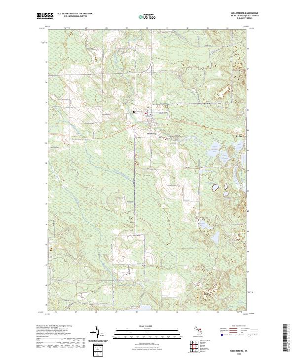
2023 Map of Millersburg
USGS Topo · Published 2023About this map
Millersburg serves as a central hub in this Presque Isle County landscape, where the Ocqueoc River and East Branch Rainy River converge amidst a dense network of wetlands and small lakes. The village layout is clearly defined by Main St and Millersburg Rd, anchored by a local Po and the nearby Riverside Cem. To the east, the settlement of Big Cut marks a distinct point along the North Eastern State Trl, a recreational corridor following a former rail alignment that traverses the heart of the region.
Find a feature on this map
82 named features on this map. Tap any name to fly to it.
Don’t see what you’re looking for? This feature index may not catch every label — zoom into the map to look around manually.
Map Details
Editions of this 2023 Millersburg Map
This is the sole edition of this map. No revisions or reprints were ever made.
Other maps of this area

1954 · Alpena
USGS Topo · 1:250,000

1955 · Atlanta
USGS Topo · 1:62,500

1955 · Hillman
USGS Topo · 1:62,500

1955 · Cheboygan
USGS Topo · 1:250,000

1957 · Alpena
USGS Topo · 1:250,000

1957 · Onaway
USGS Topo · 1:62,500

1958 · Cheboygan
USGS Topo · 1:250,000

1958 · Alpena
USGS Topo · 1:250,000

1969 · Alpena
USGS Topo · 1:250,000

1971 · Hawks
USGS Topo · 1:24,000