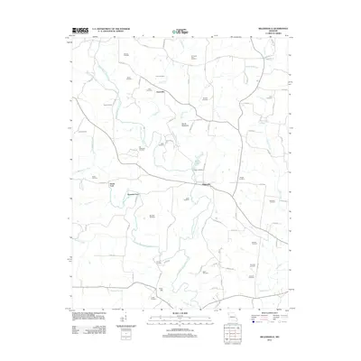
2012 Map of Millersville
USGS Topo · Published 2012About this map
Millersville serves as the central hub of this Cape Girardeau County landscape, situated where the Upper Whitewater Creek meets the smaller drainages of the Missouri interior. The 2012 topography reveals a high density of small family and community burial grounds, such as Schmidt Cemetery, Old Caney Fork Cemetery, and Old Niswonger Cemetery, which offer significant value for genealogical research into the region's early settlers. The movement across the terrain is defined by traditional crossings like Hartle Ford and Reynolds Ford, markers of an era when local commerce followed the bends of the Little Whitewater Creek and Caney Fork. To the south, the prominent elevation of Cave Hill and the distinctive Devils Backbone ridge provide clear landmarks amidst a network of rural roads, while Cedar Lake and its associated Cedar Lake Dam illustrate more modern water management and recreational development in the area.
Find a feature on this map
86 named features on this map. Tap any name to fly to it.
Don’t see what you’re looking for? This feature index may not catch every label — zoom into the map to look around manually.
Map Details
Editions of this 2012 Millersville Map
This is the sole edition of this map. No revisions or reprints were ever made.
Other maps of this area

1918 · Altenburg
USGS Topo · 1:62,500

1922 · Cape Girardeau
USGS Topo · 1:62,500

1923 · Perryville
USGS Topo · 1:62,500

1924 · Cape Girardeau
USGS Topo · 1:62,500

1924 · Perryville
USGS Topo · 1:62,500

1925 · Altenburg
USGS Topo · 1:62,500

1933 · Marble Hill
USGS Topo · 1:62,500

1937 · Marble Hill
USGS Topo · 1:62,500

1947 · Oak Ridge
USGS Topo · 1:24,000

1947 · Altenburg
USGS Topo · 1:62,500