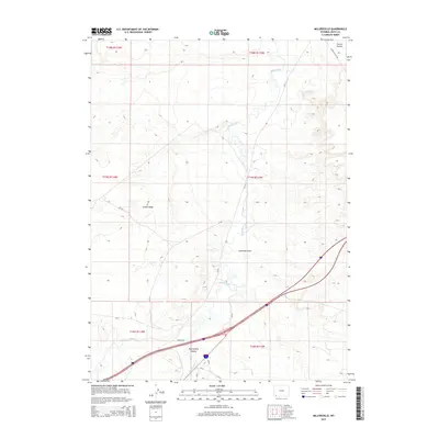
2015 Map of Millersville
USGS Topo · Published 2015About this map
Blacks Fork meanders through the high desert landscape of Uinta County, creating a riparian corridor that has long dictated movement and settlement in this part of Wyoming. In the southern portion of the map, the small community of Millersville sits near the confluence where Smiths Fork joins the larger river system. This area serves as a transit hub, where modern interstate travel parallels the historic pathways through the basin.
Find a feature on this map
21 named features on this map. Tap any name to fly to it.
Don’t see what you’re looking for? This feature index may not catch every label — zoom into the map to look around manually.
Map Details
Editions of this 2015 Millersville Map
This is the sole edition of this map. No revisions or reprints were ever made.
Other maps of this area

1954 · Ogden
USGS Topo · 1:250,000

1958 · Ogden
USGS Topo · 1:250,000

1960 · Ogden
USGS Topo · 1:250,000

1964 · Butcher Knife Draw
USGS Topo · 1:24,000

1964 · Mountain View
USGS Topo · 1:24,000
1964 · Wildcat Butte
USGS Topo · 1:24,000

1964 · Austin Reservoir
USGS Topo · 1:24,000
1965 · Millersville
USGS Topo · 1:24,000
1965 · Turtle Hill
USGS Topo · 1:24,000
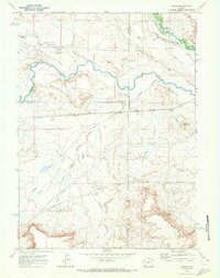
1969 · Verne
USGS Topo · 1:24,000