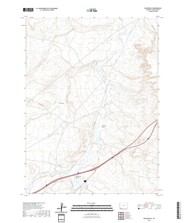
2021 Map of Millersville
USGS Topo · Published 2021About this map
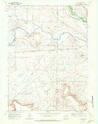
The confluence of Blacks Fork and Smiths Fork anchors this southwestern Wyoming landscape, where the high desert terrain is defined by a series of prominent drainage systems. The meandering watercourses of the forks contrast with the arid, named topographic features such as Austin Wash, Jackknife Draw, and the curiously named Mud Spring Hollow. These features suggest a landscape where water is the primary architect of the land, creating seasonal channels through the sagebrush and scrub.
Find a feature on this map
19 named features on this map. Tap any name to fly to it.
Don’t see what you’re looking for? This feature index may not catch every label — zoom into the map to look around manually.
Map Details
Editions of this 2021 Millersville Map
This is the sole edition of this map. No revisions or reprints were ever made.
Other maps of this area

1954 · Ogden
USGS Topo · 1:250,000

1958 · Ogden
USGS Topo · 1:250,000

1960 · Ogden
USGS Topo · 1:250,000

1964 · Butcher Knife Draw
USGS Topo · 1:24,000

1964 · Mountain View
USGS Topo · 1:24,000
1964 · Wildcat Butte
USGS Topo · 1:24,000

1964 · Austin Reservoir
USGS Topo · 1:24,000
1965 · Millersville
USGS Topo · 1:24,000
1965 · Turtle Hill
USGS Topo · 1:24,000
1969 · Verne
USGS Topo · 1:24,000