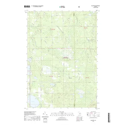
2019 Map of Millerton
USGS Topo · Published 2019About this map
The settlement of Millerton serves as a quiet interior hub within this 2019 survey, situated where the Big Sable River and Little Sable River drain the wooded expanse of the Manistee National Forest. This section of Mason County and Lake County is defined by its glacial hydrology, featuring a dense concentration of small water bodies like Picnic Lake, Cranberry Lake, and Noud Lake that historically supported the region's logging and seasonal recreation industries. The terrain shifts from the swampy lowlands of Duck Marsh to the elevated ground of the Ward Hills in the southeast. Modern infrastructure is represented by the N Country National Scenic Trail winding through the forest, while the drainage of the North Branch Lincoln River and Black Cr highlights the complex watershed that eventually feeds Lake Michigan to the west.
Find a feature on this map
72 named features on this map. Tap any name to fly to it.
Don’t see what you’re looking for? This feature index may not catch every label — zoom into the map to look around manually.
Map Details
Editions of this 2019 Millerton Map
This is the sole edition of this map. No revisions or reprints were ever made.
Other maps of this area

1931 · Custer NW
USGS Topo · 1:31,680

1931 · Baldwin NW
USGS Topo · 1:31,680

1931 · Custer NE
USGS Topo · 1:31,680

1931 · Freesoil SW
USGS Topo · 1:31,680

1932 · Freesoil SE
USGS Topo · 1:31,680

1933 · Peacock SW
USGS Topo · 1:31,680

1933 · Peacock NW
USGS Topo · 1:31,680

1954 · Traverse City
USGS Topo · 1:250,000

1954 · Milwaukee
USGS Topo · 1:250,000

1954 · Midland
USGS Topo · 1:250,000