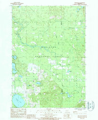
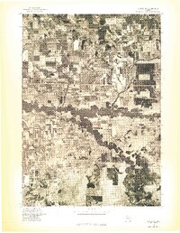
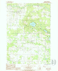
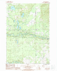
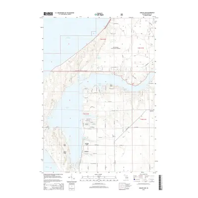
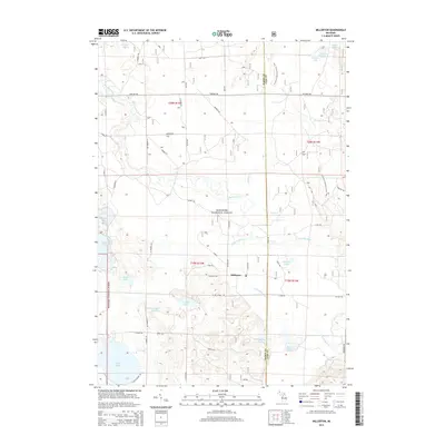
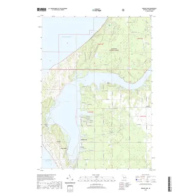
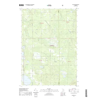
1987 Map of Millerton
USGS Topo · Published 1988About this map
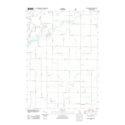
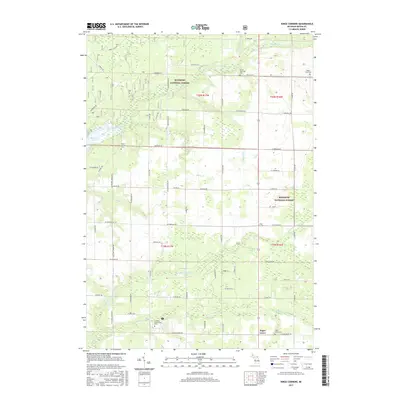
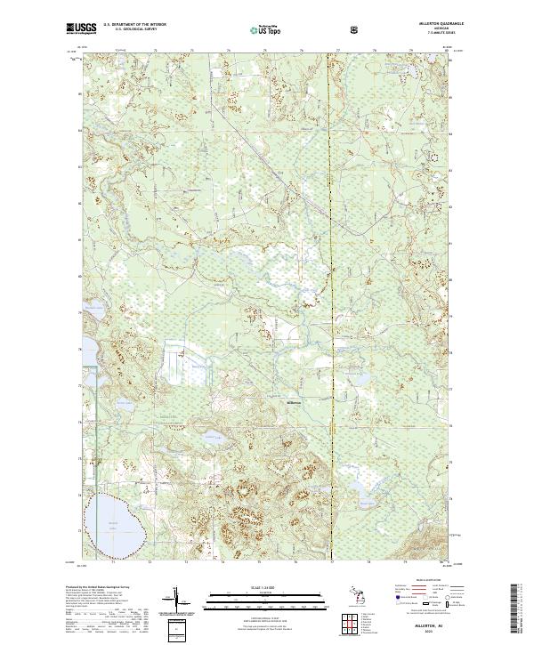
The confluence of the Little Sable River and Big Sable River anchors this detailed survey of the Michigan interior during the late 1980s. Centered on the settlement of Millerton, the landscape is defined by the extensive holdings of the Manistee National Forest and a complex network of waterways including Ford Lake, Thunder Lake, and the expansive Round Lake. The map reveals the industrial and transport history of the region through several remnants of the timber era, most notably the numerous corridors marked as Old RR Grade and Old Railroad Grade that wind through the townships of Meade, Sheridan, and Sauble. These former rail lines, now largely reclaimed by the forest, once connected remote lumber camps to the regional milling centers. Geologic extraction is also represented by a Gravel Pit near the shoreline of Ford Lake, while recreational land use is signaled by several Public Access points and a Boat Ramp on the local lakes.
Find a feature on this map
36 named features on this map. Tap any name to fly to it.
Don’t see what you’re looking for? This feature index may not catch every label — zoom into the map to look around manually.
Map Details
Editions of this 1987 Millerton Map
This is the sole edition of this map. No revisions or reprints were ever made.
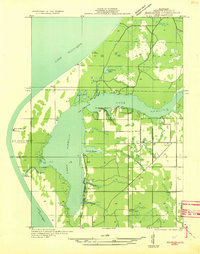
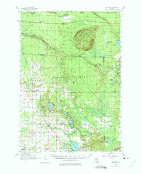
Historical Maps of Elk Township Through Time
46 maps found

1931 Custer NE
Mason County, MI

1931 Custer NW
Mason County, MI

1931 Freesoil SW
Mason County, MI

1931 Manistee SE
Mason County, MI
1931 Manistee SW
Mason County, MI

1932 Freesoil SE
Mason County, MI

1932 Ludington NE
Mason County, MI
1957 Freesoil
Mason County, MI
1976 Custer NE
Mason County, MI
1976 Custer NW
Mason County, MI
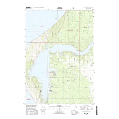
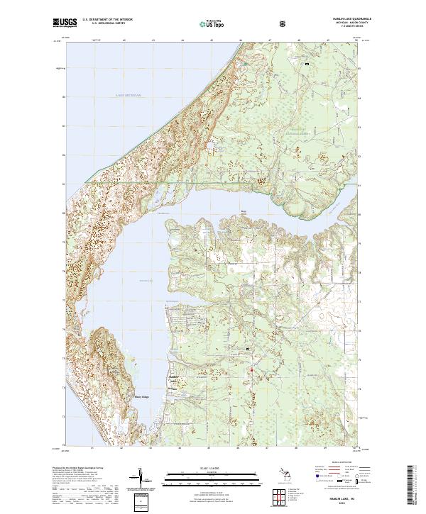
1982 Hamlin Lake
Mason County, MI
1982 Kings Corners
Mason County, MI
1982 Manistee NW
Mason County, MI
1987 Freesoil
Mason County, MI
1987 Millerton
Mason County, MI
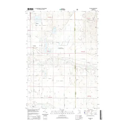
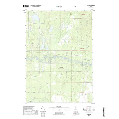
1987 Tallman
Mason County, MI
2011 Hamlin Lake OE W
Mason County, MI
2012 Hamlin Lake
Mason County, MI
2012 Kings Corners
Mason County, MI
2012 Manistee NW
Mason County, MI
2012 Millerton
Mason County, MI
2012 Tallman
Mason County, MI
2014 Hamlin Lake
Mason County, MI
2014 Hamlin Lake OE W
Mason County, MI
2014 Kings Corners
Mason County, MI
2014 Manistee NW
Mason County, MI
2014 Millerton
Mason County, MI
2014 Tallman
Mason County, MI
2017 Hamlin Lake
Mason County, MI
2017 Hamlin Lake OE W
Mason County, MI
2017 Kings Corners
Mason County, MI
2017 Manistee NW
Mason County, MI
2017 Millerton
Mason County, MI
2017 Tallman
Mason County, MI
2019 Hamlin Lake
Mason County, MI
2019 Hamlin Lake OE W
Mason County, MI
2019 Kings Corners
Mason County, MI
2019 Manistee NW
Mason County, MI
2019 Millerton
Mason County, MI
2019 Tallman
Mason County, MI
2023 Hamlin Lake
Mason County, MI
2023 Hamlin Lake OE W
Mason County, MI
2023 Kings Corners
Mason County, MI
2023 Manistee NW
Mason County, MI
2023 Millerton
Mason County, MI
2023 Tallman
Mason County, MI
Featured Locations
- Elk Township, MI
- Sauble Township, MI
- Meade Township, MI
- Sheridan Township, MI
- Millerton, Sheridan Township