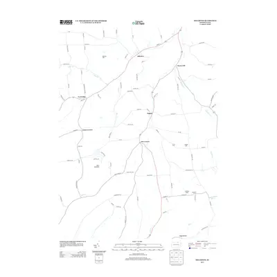
2013 Map of Millerton
USGS Topo · Published 2013About this map
Millerton stands as a primary focal point in this northern Pennsylvania landscape, where rural corridors converge near the New York border. The terrain is defined by prominent heights like Norway Hill and Buck Mountain, which separate the winding valleys of Bear Cr and Alder Run. The settlement pattern follows a traditional network of crossroads, linking smaller hamlets such as Mosherville and Daggett.
Find a feature on this map
81 named features on this map. Tap any name to fly to it.
Don’t see what you’re looking for? This feature index may not catch every label — zoom into the map to look around manually.
Map Details
Editions of this 2013 Millerton Map
This is the sole edition of this map. No revisions or reprints were ever made.
Other maps of this area

1895 · Elmira
USGS Topo · 1:62,500

1900 · Tioga
USGS Topo · 1:62,500

1902 · Tioga
USGS Topo · 1:62,500

1905 · Watkins Glen
USGS Topo · 1:125,000

1914 · Corning
USGS Topo · 1:62,500

1931 · Troy
USGS Topo · 1:48,000

1938 · Troy
USGS Topo · 1:62,500

1944 · Corning
USGS Topo · 1:62,500

1950 · Elmira
USGS Topo · 1:250,000

1953 · Roseville
USGS Topo · 1:24,000
Featured Places
- Columbia Township, PA
- Jackson Township, PA
- Daggett, Jackson Township
- Jobs Corners, Jackson Township
- Millerton, Jackson Township