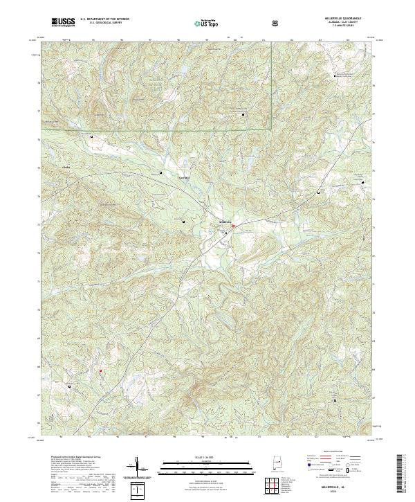
2024 Map of Millerville
USGS Topo · Published 2024About this map
Millerville serves as the central hub of this Clay County landscape, where rural roads converge amidst the foothills of the southern Appalachians. The community is surrounded by family-named landmarks and local institutions, including the Millerville Cem and several historic congregations such as the Pleasant Hill Methodist Protestant Church and Big Springs Baptist Church. The terrain is defined by a series of prominent ridges, including Backbone Mtn, Dugout Mtn, and Hillabee Ridge, which channel numerous waterways like Little Hillabee Creek and Blue Creek.
Find a feature on this map
106 named features on this map. Tap any name to fly to it.
Don’t see what you’re looking for? This feature index may not catch every label — zoom into the map to look around manually.
Map Details
Editions of this 2024 Millerville Map
This is the sole edition of this map. No revisions or reprints were ever made.
Other maps of this area

1890 · Talladega
USGS Topo · 1:125,000

1891 · Ashland
USGS Topo · 1:125,000

1892 · Talladega
USGS Topo · 1:125,000

1943 · Talladega
USGS Topo · 1:62,500

1944 · Goodwater
USGS Topo · 1:62,500

1946 · Talladega
USGS Topo · 1:62,500

1947 · Goodwater
USGS Topo · 1:62,500

1953 · Birmingham
USGS Topo · 1:250,000

1953 · Atlanta
USGS Topo · 1:250,000

1956 · Birmingham
USGS Topo · 1:250,000