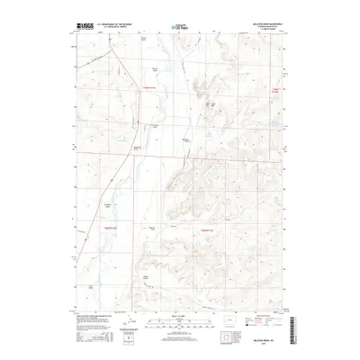
2015 Map of Milleson Draw
USGS Topo · Published 2015About this map
The Green River carves a central path through this Sublette County landscape, defining the topography of western Wyoming during the mid-2010s. This survey records a system of water management and access, highlighted by Horn Reservoir, Blue Ridge Reservoir, and Reardon Canyon Reservoir Number 2, which serve the high desert terrain. Along the river's course, distinctive landforms such as Tarters Island and Long Island provide geographical anchors for local navigation, while Fivemile Bridge offers a critical crossing point for the area's network of remote roads.
Find a feature on this map
31 named features on this map. Tap any name to fly to it.
Don’t see what you’re looking for? This feature index may not catch every label — zoom into the map to look around manually.
Map Details
Editions of this 2015 Milleson Draw Map
This is the sole edition of this map. No revisions or reprints were ever made.
Other maps of this area

1939 · Big Piney
USGS Topo · 1:125,000

1942 · Big Piney
USGS Topo · 1:125,000

1955 · Preston
USGS Topo · 1:250,000

1955 · Lander
USGS Topo · 1:250,000

1958 · Lander
USGS Topo · 1:250,000

1958 · Preston
USGS Topo · 1:250,000

1961 · Lander
USGS Topo · 1:250,000

1962 · Preston
USGS Topo · 1:250,000

1964 · Ross Butte
USGS Topo · 1:24,000

1969 · Oasis Well
USGS Topo · 1:24,000