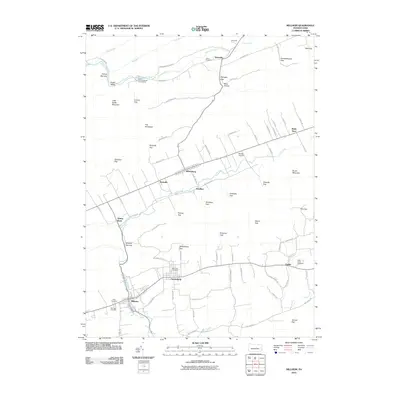
2010 Map of Millheim
USGS Topo · Published 2010About this map
Millheim and the historic planned community of Aaronsburg anchor the southern valleys of this region, where the landscape is defined by the sharp ridges of Brush Mountain and numerous geological gaps. The settlement pattern reflects the traditional Pennsylvania German heritage of the Brush Valley, with towns like Rebersburg and Smullton situated along the valley floor. The map highlights the area's aquatic resources, from the Lamar National Fish Hatchery near Seven Spring to the waters of Elk Creek and Fishing Creek which have long supported local agriculture.
Find a feature on this map
84 named features on this map. Tap any name to fly to it.
Don’t see what you’re looking for? This feature index may not catch every label — zoom into the map to look around manually.
Map Details
Editions of this 2010 Millheim Map
This is the sole edition of this map. No revisions or reprints were ever made.
Other maps of this area

1921 · Howard
USGS Topo · 1:48,000

1921 · Lock Haven
USGS Topo · 1:62,500

1923 · Howard
USGS Topo · 1:62,500

1923 · Lock Haven
USGS Topo · 1:62,500

1924 · Centre Hall
USGS Topo · 1:62,500

1929 · Centre Hall
USGS Topo · 1:62,500

1937 · Millheim
USGS Topo · 1:48,000

1941 · Millheim
USGS Topo · 1:62,500

1943 · Lewistown
USGS Topo · 1:125,000

1944 · Lock Haven
USGS Topo · 1:62,500