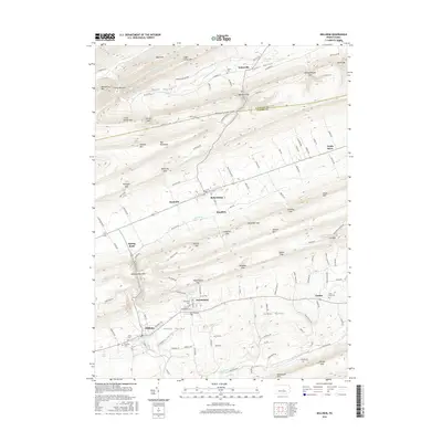
2016 Map of Millheim
USGS Topo · Published 2016About this map
Aaronsburg and Millheim anchor this portion of the Penns Valley, where long-established agricultural patterns meet the ridges of the Appalachian Mountains. The map documents a landscape defined by its many gaps and narrow passages, such as Millheim Narrows and Colvey Narrows, which have historically dictated the flow of travel and commerce between the valley floors. Water sources like Seven Spring and Tylersville Spring underscore the importance of the local karst topography to the region's early development.
Find a feature on this map
133 named features on this map. Tap any name to fly to it.
Don’t see what you’re looking for? This feature index may not catch every label — zoom into the map to look around manually.
Map Details
Editions of this 2016 Millheim Map
This is the sole edition of this map. No revisions or reprints were ever made.
Other maps of this area

1921 · Howard
USGS Topo · 1:48,000

1921 · Lock Haven
USGS Topo · 1:62,500

1923 · Howard
USGS Topo · 1:62,500

1923 · Lock Haven
USGS Topo · 1:62,500

1924 · Centre Hall
USGS Topo · 1:62,500

1929 · Centre Hall
USGS Topo · 1:62,500

1937 · Millheim
USGS Topo · 1:48,000

1941 · Millheim
USGS Topo · 1:62,500

1943 · Lewistown
USGS Topo · 1:125,000

1944 · Lock Haven
USGS Topo · 1:62,500