
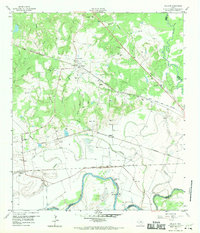
1959 Map of Millican
USGS Topo · Published 1960About this map
The confluence of the Brazos River and Navasota River anchor this late 1950s survey of the Brazos Valley, a landscape defined by its heavy rail infrastructure and river-bottom agriculture. The community of Millican sits at a major rail intersection, where the Southern Pacific and Texas and New Orleans lines converge. This area shows a transition from the upland wooded terrain around Brooks Chapel to the wide, meandering floodplains of the Big Creek drainage system. Along the river, landmarks like Hidalgo Falls and the Broken Dam provide specific navigational points for researchers of the local waterways. Settlement patterns follow the steel, with small stations and siding stops like Nelleva, Dinkins, and Cawthon marking the Missouri Pacific and Southern Pacific routes. The presence of several family-named burial grounds, including Weaver Cem and Barker Cem, offers valuable data for genealogical mapping in this corner of Brazos County.
Find a feature on this map
36 named features on this map. Tap any name to fly to it.
Don’t see what you’re looking for? This feature index may not catch every label — zoom into the map to look around manually.
Map Details
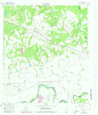
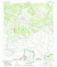
Editions of this 1959 Millican Map
4 editions found
Other maps of this area

1913 · Millican
USGS Topo · 1:31,680

1914 · Gay Hill
USGS Topo · 1:62,500

1914 · Navasota
USGS Topo · 1:62,500

1954 · Austin
USGS Topo · 1:250,000

1956 · Bryan
USGS Topo · 1:62,500

1956 · Carlos
USGS Topo · 1:62,500

1958 · Washington
USGS Topo · 1:24,000

1958 · Navasota
USGS Topo · 1:24,000

1958 · Courtney
USGS Topo · 1:24,000

1959 · Clay
USGS Topo · 1:24,000