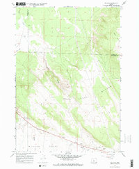
1967 Map of Millican
USGS Topo · Published 1969About this map
Millican sits within the broad Millican Valley, serving as a central point of human activity in this high desert landscape during the late 1960s. The settlement is defined by its proximity to the ephemeral Dry River and the small Landing Strip south of the main road. Resource extraction is evident through several sites including a Cinder Pit and multiple Gravel Pits, indicating the geological industry of the region.
Find a feature on this map
16 named features on this map. Tap any name to fly to it.
Don’t see what you’re looking for? This feature index may not catch every label — zoom into the map to look around manually.
Map Details
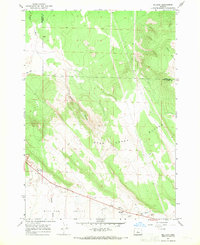
Editions of this 1967 Millican Map
2 editions found
Other maps of this area

1926 · Bend
USGS Topo · 1:125,000

1929 · Bend
USGS Topo · 1:125,000

1931 · Newberry Crater
USGS Topo · 1:125,000

1935 · Newberry Crater
USGS Topo · 1:125,000

1955 · Crescent
USGS Topo · 1:250,000

1955 · Bend
USGS Topo · 1:250,000

1957 · Crescent
USGS Topo · 1:250,000

1957 · Bend
USGS Topo · 1:250,000

1958 · Crescent
USGS Topo · 1:250,000

1958 · Bend
USGS Topo · 1:250,000