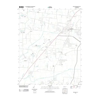
2010 Map of Millington
USGS Topo · Published 2010About this map
Millington serves as the primary hub on this map, situated north of the Loosahatchie River as the city expanded into northern Shelby County. The landscape is defined by its numerous small reservoirs and local waterways like Big Creek and Jakes Creek, which are segmented by dams such as Tompkins Lake Dam and Mitchell Lake Dam Number One. A dense concentration of legacy burial sites, including Noblin Cemetery, West Union Cemetery, and West Canaan Cemetery, reflects the long-standing family settlements that predate the modern suburban development. Aviation infrastructure is a notable component of the local economy and land use, evidenced by the presence of Charles W Baker Airport and the Forest Strip Airport. The road network, including names like Cuba Millington Rd and Raleigh Millington Rd, illustrates the historical connections between these early Tennessee communities.
Find a feature on this map
68 named features on this map. Tap any name to fly to it.
Don’t see what you’re looking for? This feature index may not catch every label — zoom into the map to look around manually.
Map Details
Editions of this 2010 Millington Map
This is the sole edition of this map. No revisions or reprints were ever made.
Other maps of this area

1916 · Memphis
USGS Topo · 1:62,500

1925 · Memphis
USGS Topo · 1:48,000

1927 · Memphis
USGS Topo · 1:62,500

1931 · Jericho
USGS Topo · 1:62,500

1939 · Jericho
USGS Topo · 1:62,500

1939 · Memphis
USGS Topo · 1:62,500

1942 · Millington
USGS Topo · 1:62,500

1952 · Jericho
USGS Topo · 1:62,500

1953 · Memphis
USGS Topo · 1:250,000

1955 · Memphis
USGS Topo · 1:62,500