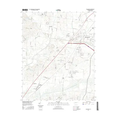
2016 Map of Millington
USGS Topo · Published 2016About this map
Millington and the surrounding Shelby County communities are defined by a complex network of engineered waterways and aviation infrastructure. The landscape is heavily marked by the Loosahatchie River Drainage Canal to the south and the Big Creek Drainage Canal cutting through the center, illustrating modern efforts to manage the West Tennessee hydrology. For genealogists, the map is a dense record of local burial sites, including Noblin Cem, West Union Cem, and Remberts Cem, often located near established settlements like West Union and Sloanville.
Find a feature on this map
141 named features on this map. Tap any name to fly to it.
Don’t see what you’re looking for? This feature index may not catch every label — zoom into the map to look around manually.
Map Details
Editions of this 2016 Millington Map
This is the sole edition of this map. No revisions or reprints were ever made.
Other maps of this area

1916 · Memphis
USGS Topo · 1:62,500

1925 · Memphis
USGS Topo · 1:48,000

1927 · Memphis
USGS Topo · 1:62,500

1931 · Jericho
USGS Topo · 1:62,500

1939 · Jericho
USGS Topo · 1:62,500

1939 · Memphis
USGS Topo · 1:62,500

1942 · Millington
USGS Topo · 1:62,500

1952 · Jericho
USGS Topo · 1:62,500

1953 · Memphis
USGS Topo · 1:250,000

1955 · Memphis
USGS Topo · 1:62,500