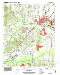
1997 Map of Millington
USGS Topo · Published 1999About this map
The US Naval Air Station anchors the eastern portion of this Shelby County landscape, showing the military infrastructure that defined Millington in the late 20th century. While the city displays significant residential and industrial development, the surrounding area retains its rural character through established crossroads like Sloanville, Woodstock, and West Union. To the south, the Loosahatchie River meanders toward the Memphis corporate boundary, creating a natural southern border for the quadrangle.
Find a feature on this map
58 named features on this map. Tap any name to fly to it.
Don’t see what you’re looking for? This feature index may not catch every label — zoom into the map to look around manually.
Map Details
Editions of this 1997 Millington Map
This is the sole edition of this map. No revisions or reprints were ever made.
Other maps of this area

1916 · Memphis
USGS Topo · 1:62,500

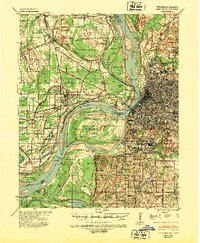
1925 · Memphis
USGS Topo · 1:48,000

1927 · Memphis
USGS Topo · 1:62,500

1931 · Jericho
USGS Topo · 1:62,500

1939 · Jericho
USGS Topo · 1:62,500
1939 · Memphis
USGS Topo · 1:62,500
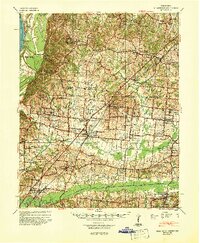
1942 · Millington
USGS Topo · 1:62,500

1952 · Jericho
USGS Topo · 1:62,500

1953 · Memphis
USGS Topo · 1:250,000
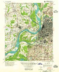
1955 · Memphis
USGS Topo · 1:62,500