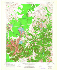
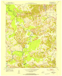
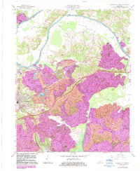
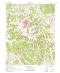
1963 Map of Millport
USGS Topo · Published 1964This historical map portrays the area of Millport in 1963, primarily covering Muhlenberg County as well as portions of Hopkins County. Featuring a scale of 1:24000, this map provides a highly detailed snapshot of the terrain, roads, buildings, counties, and historical landmarks in the Millport region at the time. Published in 1964, it is one of 3 known editions of this map due to revisions or reprints.
Find a feature on this map
27 named features on this map. Tap any name to fly to it.
Don’t see what you’re looking for? This feature index may not catch every label — zoom into the map to look around manually.
Map Details
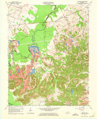
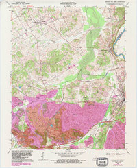
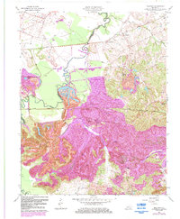
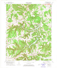
Editions of this 1963 Millport Map
3 editions found
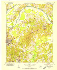
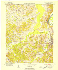
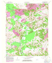
Historical Maps of Earles Through Time
14 maps found
1953 Central City East
Muhlenberg County, KY
1953 Central City West
Muhlenberg County, KY
1953 Graham
Muhlenberg County, KY
1953 Kirkmansville
Muhlenberg County, KY
1953 Millport
Muhlenberg County, KY
1953 Rosewood
Muhlenberg County, KY
1963 Central City East
Muhlenberg County, KY
1963 Central City West
Muhlenberg County, KY
1963 Graham
Muhlenberg County, KY
1963 Millport
Muhlenberg County, KY
1972 Kirkmansville
Muhlenberg County, KY
1972 Rosewood
Muhlenberg County, KY
1997 Central City East
Muhlenberg County, KY
1997 Central City West
Muhlenberg County, KY