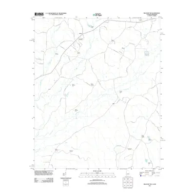
2011 Map of Millport NW
USGS Topo · Published 2011About this map
The rural landscape of northwest Lamar County is defined by a dense network of country roads and creek valleys where the settlement of Molloy and the community of Star serve as local anchors. Numerous family and community burial grounds, such as Mount Nebo Cemetery, Lampkin Cemetery, and Sailor Cemetery, are scattered across the terrain, offering significant points of interest for genealogical research. The map reveals an active energy economy through several designated areas including the Yellow Creek Oil Field, the Star Oil and Gas Field, and the McGee Lake Gas Field. Water management is prominent in the region's geography, featuring engineered structures like the Rogers Lake Dam and the Stillman Ditch, which channel the flow through a series of creeks like Wilson Creek and Yellow Creek. This survey captures the traditional agricultural and resource-based character of the Alabama-Mississippi borderlands.
Find a feature on this map
89 named features on this map. Tap any name to fly to it.
Don’t see what you’re looking for? This feature index may not catch every label — zoom into the map to look around manually.
Map Details
Editions of this 2011 Millport NW Map
This is the sole edition of this map. No revisions or reprints were ever made.
Other maps of this area

1953 · West Point
USGS Topo · 1:250,000

1958 · West Point
USGS Topo · 1:250,000

1960 · Caledonia
USGS Topo · 1:62,500

1963 · West Point
USGS Topo · 1:250,000

1966 · Amory SE
USGS Topo · 1:24,000

1967 · Hightogy
USGS Topo · 1:24,000

1967 · Millport
USGS Topo · 1:24,000

1967 · Sulligent SW
USGS Topo · 1:24,000

1967 · Millport NW
USGS Topo · 1:24,000

1967 · Fernbank
USGS Topo · 1:24,000