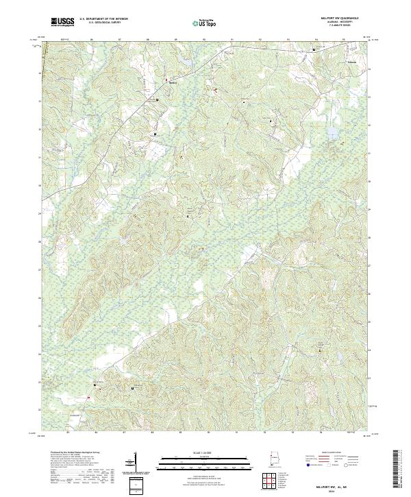
2024 Map of Millport NW
USGS Topo · Published 2024About this map
The community of Vernon anchors the northeast corner of this Lamar County survey, where the rolling hills descend toward the intricate wetlands of Yellow Creek. This landscape is defined by its deep genealogical roots, marked by numerous family and community burial grounds including Furnace Hill Cem, Mount Nebo Cem, and Poplar Springs Cem. The terrain is shaped by a dense network of tributaries like Wilson Creek, Watson Creek, and Cut Bank Creek, which feed into the central drainage basin of the area.
Find a feature on this map
78 named features on this map. Tap any name to fly to it.
Don’t see what you’re looking for? This feature index may not catch every label — zoom into the map to look around manually.
Map Details
Editions of this 2024 Millport NW Map
This is the sole edition of this map. No revisions or reprints were ever made.
Other maps of this area

1953 · West Point
USGS Topo · 1:250,000

1958 · West Point
USGS Topo · 1:250,000

1960 · Caledonia
USGS Topo · 1:62,500

1963 · West Point
USGS Topo · 1:250,000

1966 · Amory SE
USGS Topo · 1:24,000

1967 · Hightogy
USGS Topo · 1:24,000

1967 · Millport
USGS Topo · 1:24,000

1967 · Sulligent SW
USGS Topo · 1:24,000

1967 · Millport NW
USGS Topo · 1:24,000

1967 · Fernbank
USGS Topo · 1:24,000