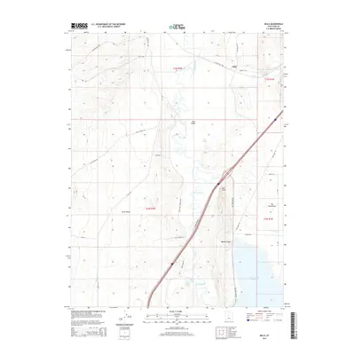
2014 Map of Mills
USGS Topo · Published 2014About this map
The Sevier River carves a central path through this Juab County landscape, defining the character of the Mills Valley before feeding into the Sevier Bridge Reservoir. The small settlement of Mills serves as a focal point near the northern border, where the convergence of Chicken Cr and the river historically influenced the local terrain. Significant geological and hydrologic features dot the map, including Chase Springs, Blue Springs, and the distinctive Molten Spring south of Red Point.
Find a feature on this map
35 named features on this map. Tap any name to fly to it.
Don’t see what you’re looking for? This feature index may not catch every label — zoom into the map to look around manually.
Map Details
Editions of this 2014 Mills Map
This is the sole edition of this map. No revisions or reprints were ever made.
Other maps of this area

1885 · Manti
USGS Topo · 1:250,000

1885 · Sevier Desert
USGS Topo · 1:250,000

1895 · Manti
USGS Topo · 1:250,000

1951 · Nephi
USGS Topo · 1:62,500

1952 · Scipio North
USGS Topo · 1:62,500

1953 · Delta
USGS Topo · 1:250,000

1956 · Price
USGS Topo · 1:250,000

1958 · Delta
USGS Topo · 1:250,000

1960 · Price
USGS Topo · 1:250,000

1962 · Price
USGS Topo · 1:250,000