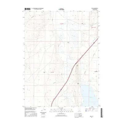
2017 Map of Mills
USGS Topo · Published 2017About this map
The settlement of Mills sits at the northern edge of this Utah landscape, serving as a quiet focal point near the historic Mills Cem. The geography is defined by the winding course of the Sevier River, which feeds into the northern reaches of the Sevier Bridge Reservoir at the southern boundary. This riparian corridor creates a distinct contrast with the surrounding desert terrain, evidenced by the wetland area known as The Meadows and various watering points like Chase Springs and Molten Spring.
Find a feature on this map
26 named features on this map. Tap any name to fly to it.
Don’t see what you’re looking for? This feature index may not catch every label — zoom into the map to look around manually.
Map Details
Editions of this 2017 Mills Map
This is the sole edition of this map. No revisions or reprints were ever made.
Other maps of this area

1885 · Manti
USGS Topo · 1:250,000

1885 · Sevier Desert
USGS Topo · 1:250,000

1895 · Manti
USGS Topo · 1:250,000

1951 · Nephi
USGS Topo · 1:62,500

1952 · Scipio North
USGS Topo · 1:62,500

1953 · Delta
USGS Topo · 1:250,000

1956 · Price
USGS Topo · 1:250,000

1958 · Delta
USGS Topo · 1:250,000

1960 · Price
USGS Topo · 1:250,000

1962 · Price
USGS Topo · 1:250,000