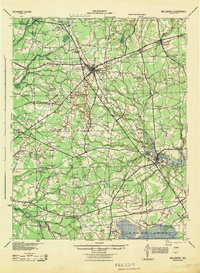
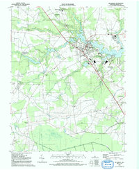
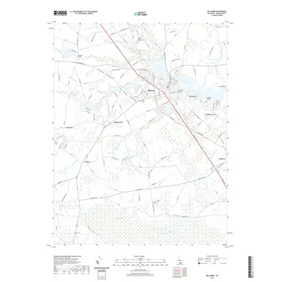
1944 Map of Millsboro
USGS Topo · Published 1944About this map
Georgetown serves as the central hub of this inland Sussex County landscape, where the Pennsylvania RR cuts through a dense network of crossroads and agricultural infrastructure. The map reveals a highly decentralized rural society during the 1940s, marked by an exceptional number of small schoolhouses and family-named junctions such as McDonalds Crossroads, Hitchens Crossroads, and Gumboro Crossroads. These points of interest, alongside the County Farm and Morris Mill, suggest a landscape defined by local community centers rather than major urban development.
Find a feature on this map
81 named features on this map. Tap any name to fly to it.
Don’t see what you’re looking for? This feature index may not catch every label — zoom into the map to look around manually.
Map Details
Editions of this 1944 Millsboro Map
This is the sole edition of this map. No revisions or reprints were ever made.
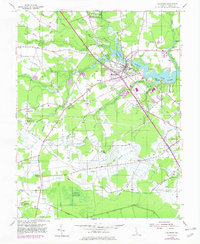
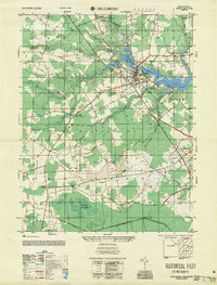
Historical Maps of Georgetown Through Time
11 maps found
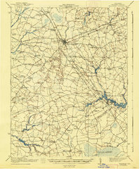
1917 Millsboro
Sussex County, DE

1938 Millsboro
Sussex County, DE
1944 Millsboro
Sussex County, DE
1954 Millsboro
Sussex County, DE
1955 Millsboro
Sussex County, DE
1992 Millsboro
Sussex County, DE
2011 Millsboro
Sussex County, DE
2014 Millsboro
Sussex County, DE
2016 Millsboro
Sussex County, DE
2019 Millsboro
Sussex County, DE
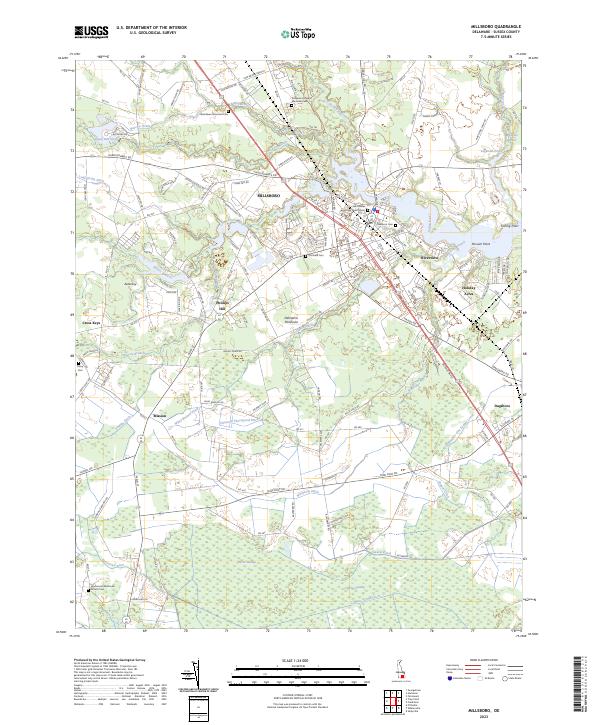
2023 Millsboro
Sussex County, DE