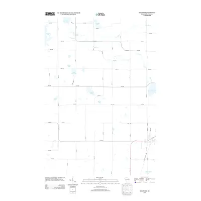
2013 Map of Milltown
USGS Topo · Published 2013About this map
Glacial geology defines this portion of Polk County, where dozens of kettle lakes and drainages punctuate a landscape of rural homesteads and agricultural roads. The Trade River meanders across the northern reaches, connecting bodies of water like Long Trade Lake and Bullhead Lake. This network of water provided the foundational resources for early settlement in the Milltown vicinity, which by this era is primarily organized around a rigid grid of numbered roads such as 250th Ave and 210th St.
Find a feature on this map
50 named features on this map. Tap any name to fly to it.
Don’t see what you’re looking for? This feature index may not catch every label — zoom into the map to look around manually.
Map Details
Editions of this 2013 Milltown Map
This is the sole edition of this map. No revisions or reprints were ever made.
Other maps of this area

1900 · St Croix Dalles
USGS Topo · 1:62,500

1901 · St Croix Dalles
USGS Topo · 1:62,500

1950 · Balsam Lake
USGS Topo · 1:62,500

1951 · Milltown
USGS Topo · 1:48,000

1951 · Frederic
USGS Topo · 1:48,000

1953 · Stillwater
USGS Topo · 1:250,000

1955 · St. Croix Dalles
USGS Topo · 1:62,500

1955 · Frederic
USGS Topo · 1:62,500

1955 · Milltown
USGS Topo · 1:62,500

1955 · Stillwater
USGS Topo · 1:250,000