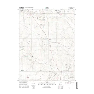
2016 Map of Millville
USGS Topo · Published 2016About this map
Indian Creek and Four Mile Creek define the drainage of this western Butler County landscape, where agriculture meets the suburban expansion of Hamilton. The village of Millville sits at a critical junction of historical routes, including the Oxford Millville Rd. Genealogists will find a wealth of burial records across several family and community sites, such as the Minton Cem, Bethel Cem, and the Millville Cem located near Queen Acres.
Find a feature on this map
147 named features on this map. Tap any name to fly to it.
Don’t see what you’re looking for? This feature index may not catch every label — zoom into the map to look around manually.
Map Details
Editions of this 2016 Millville Map
This is the sole edition of this map. No revisions or reprints were ever made.
Other maps of this area

1911 · Oxford
USGS Topo · 1:62,500

1915 · College Corner
USGS Topo · 1:48,000

1915 · Harrison
USGS Topo · 1:48,000

1915 · Hamilton
USGS Topo · 1:62,500

1917 · Hamilton
USGS Topo · 1:62,500

1918 · College Corner
USGS Topo · 1:62,500

1953 · Cincinnati
USGS Topo · 1:250,000

1955 · Harrison
USGS Topo · 1:24,000

1955 · Hamilton
USGS Topo · 1:24,000

1955 · Reily
USGS Topo · 1:24,000