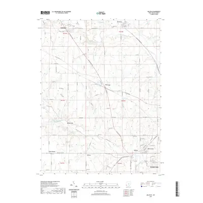
2019 Map of Millville
USGS Topo · Published 2019About this map
Four Mile Creek and Indian Creek carve a winding path through this corner of Butler County, framing the agricultural and suburban landscape between Oxford and Hamilton. The 2019 survey documents the transition from the collegiate atmosphere of University Park Drive to the smaller crossroads of Darrtown, McGonigle, and Millville. A clear pattern of rural life is visible in the distribution of family and community spaces, including the Oxford Cem, Bethel Cem, and the Samuels Lutheran Cem near the banks of Beals Run. Small water bodies like Island Pond and Holiday Lake dot the map, while the road network, including Hamilton Richmond Road and Oxford Millville Road, connects these disparate settlements. This map provides an essential reference for understanding contemporary land use and historical settlement continuity in the Miami Valley region.
Find a feature on this map
107 named features on this map. Tap any name to fly to it.
Don’t see what you’re looking for? This feature index may not catch every label — zoom into the map to look around manually.
Map Details
Editions of this 2019 Millville Map
This is the sole edition of this map. No revisions or reprints were ever made.
Other maps of this area

1911 · Oxford
USGS Topo · 1:62,500

1915 · College Corner
USGS Topo · 1:48,000

1915 · Harrison
USGS Topo · 1:48,000

1915 · Hamilton
USGS Topo · 1:62,500

1917 · Hamilton
USGS Topo · 1:62,500

1918 · College Corner
USGS Topo · 1:62,500

1953 · Cincinnati
USGS Topo · 1:250,000

1955 · Harrison
USGS Topo · 1:24,000

1955 · Hamilton
USGS Topo · 1:24,000

1955 · Reily
USGS Topo · 1:24,000