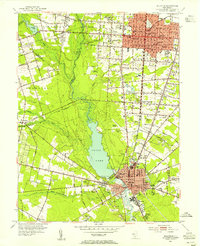
1953 Map of Millville
USGS Topo · Published 1955About this map
Union Lake serves as a massive central feature in this mid-century New Jersey landscape, separating the dense grid of Vineland from the agricultural expanses of Deerfield. The Maurice River feeds into this reservoir, which anchors the northern industrial edge of Millville. The map documents a diverse cultural history through its numerous religious and burial sites, including the Hebrew Cem near Norma and the Ukranian Ch to the west.
Find a feature on this map
68 named features on this map. Tap any name to fly to it.
Don’t see what you’re looking for? This feature index may not catch every label — zoom into the map to look around manually.
Map Details
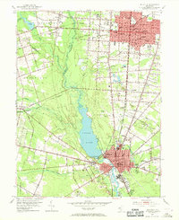
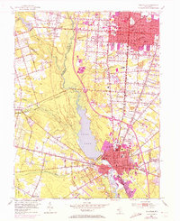
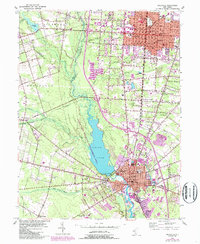
Editions of this 1953 Millville Map
4 editions found
Other maps of this area

1890 · Hammonton
USGS Topo · 1:62,500

1890 · Tuckahoe
USGS Topo · 1:62,500

1890 · Bridgeton
USGS Topo · 1:62,500

1890 · Glassboro
USGS Topo · 1:62,500

1893 · Tuckahoe
USGS Topo · 1:62,500

1894 · Hammonton
USGS Topo · 1:62,500

1894 · Bridgeton
USGS Topo · 1:62,500

1898 · Glassboro
USGS Topo · 1:62,500

1898 · Hammonton
USGS Topo · 1:62,500

1899 · Vineland
USGS Topo · 1:125,000