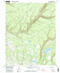
1965 Map of Millwood
USGS Topo · Published 1987About this map
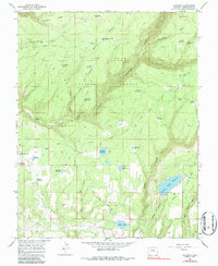
Millwood sits at the heart of this Montezuma County landscape, which is defined by an intricate network of early irrigation and timber infrastructure within the San Juan National Forest. The map documents a transition from early industrial extraction to managed water resources, evidenced by the Old Railroad Grade winding through the southern canyons and numerous family or company-named water bodies like Old Logging Camp Reservoir, Porters Camp, and Joe Moore Reservoir. The terrain drops from the heights of Haycamp Mesa toward the Mancos River, with the Jackson Gulch Reservoir and an extensive system of waterworks including the Rush Ditch and various aqueducts showing the engineering required to support high-altitude ranching and settlement. These features provide a clear record of the local water rights and land use patterns established by the mid-1960s.
Find a feature on this map
50 named features on this map. Tap any name to fly to it.
Don’t see what you’re looking for? This feature index may not catch every label — zoom into the map to look around manually.
Map Details
Editions of this 1965 Millwood Map
5 editions found
Other maps of this area

1895 · La Plata
USGS Topo · 1:62,500

1897 · La Plata
USGS Topo · 1:62,500

1897 · Rico
USGS Topo · 1:62,500

1898 · Rico
USGS Topo · 1:62,500

1899 · La Plata
USGS Topo · 1:62,500

1899 · Rico
USGS Topo · 1:62,500

1908 · La Plata
USGS Topo · 1:62,500

1956 · Cortez
USGS Topo · 1:250,000

1958 · Cortez
USGS Topo · 1:250,000

1959 · Cortez
USGS Topo · 1:250,000