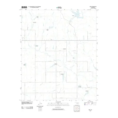
2009 Map of Milo
USGS Topo · Published 2009About this map
Mountain Lake and its accompanying Mountain Dam dominate the northern landscape of this rural Oklahoma quadrangle, where the waters of Little Hickory Creek are managed near Hickory Falls. The terrain is defined by an extensive network of water management sites along the winding course of Caddo Creek, including numerous designated dams such as Caddo Creek Site 7a Dam and Caddo Creek Site 20 Dam. This irrigation and flood control infrastructure supports a landscape carved by various waterways like West Spring Creek and Sand Branch.
Find a feature on this map
47 named features on this map. Tap any name to fly to it.
Don’t see what you’re looking for? This feature index may not catch every label — zoom into the map to look around manually.
Map Details
Editions of this 2009 Milo Map
This is the sole edition of this map. No revisions or reprints were ever made.
Other maps of this area

1901 · Ardmore
USGS Topo · 1:125,000

1918 · Ardmore
USGS Topo · 1:125,000

1957 · Ardmore
USGS Topo · 1:250,000

1963 · Ardmore
USGS Topo · 1:250,000

1964 · Ardmore West
USGS Topo · 1:24,000

1964 · Springer
USGS Topo · 1:24,000

1964 · Turner Falls
USGS Topo · 1:24,000

1968 · Fox NE
USGS Topo · 1:24,000

1969 · Healdton
USGS Topo · 1:24,000

1969 · Lone Grove
USGS Topo · 1:24,000