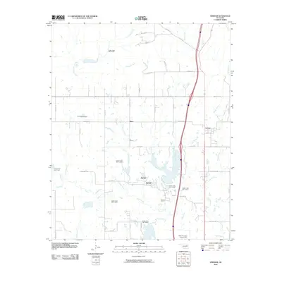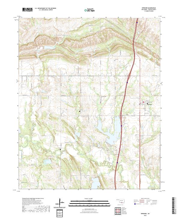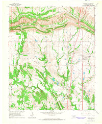
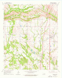
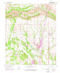
1964 Map of Springer
USGS Topo · Published 1965About this map
Springer sits at the eastern edge of this mid-1960s landscape in Carter County, Oklahoma, positioned where the flat lands meet the dramatic southern slopes of the Arbuckle Mountains. The terrain is defined by the sharp transition from agricultural plains to the distinctive limestone ridges and canyons that characterize this geological region. To the northwest, Henry House Creek flows through the folds of the mountains, culminating at Henry House Falls. The map documents the rural infrastructure of the era, showing the established road networks and scattered homesites that supported the local community. The presence of these specific water features and the proximity to the Arbuckles highlights a landscape shaped by both the rugged geology of the Uplift and the steady growth of small Oklahoma settlements.
Find a feature on this map
3 named features on this map. Tap any name to fly to it.
Don’t see what you’re looking for? This feature index may not catch every label — zoom into the map to look around manually.
Map Details
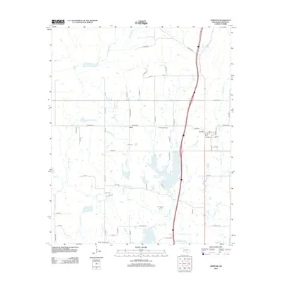
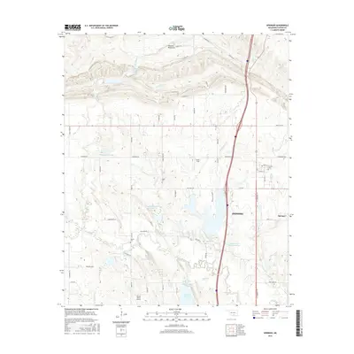
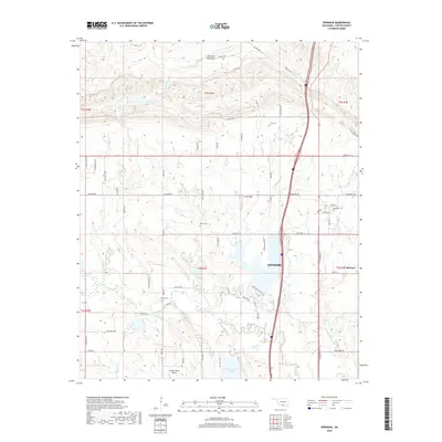
Editions of this 1964 Springer Map
3 editions found
Historical Maps of Ardmore Through Time
6 maps found