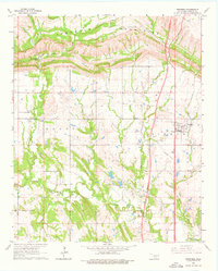
1964 Map of Springer
USGS Topo · Published 1976About this map
The Arbuckle Mountains dominate the northern landscape of this Carter County quadrangle, where the Indian Meridian marks a fundamental surveying line for Oklahoma history. The village of Springer serves as the primary settlement hub, situated just east of an extensive network of waterways including Henry House Creek, Grindstone Creek, and Caddo Creek. This mid-century survey reveals a rural landscape transitioning into the modern era, evidenced by the presence of a Drag Strip near the town center and scattered Oil Well sites. The varied terrain shifts from the dramatic elevations near Henry House Falls in the north to the more level reaches of Akers and Berwyn in the south, illustrating the geological diversity of the region before further residential and industrial expansion.
Find a feature on this map
19 named features on this map. Tap any name to fly to it.
Don’t see what you’re looking for? This feature index may not catch every label — zoom into the map to look around manually.
Map Details
Editions of this 1964 Springer Map
3 editions found
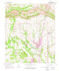
Other maps of this area

1901 · Ardmore
USGS Topo · 1:125,000

1918 · Ardmore
USGS Topo · 1:125,000

1957 · Ardmore
USGS Topo · 1:250,000

1963 · Ardmore
USGS Topo · 1:250,000

1964 · Ardmore East
USGS Topo · 1:24,000

1964 · Ardmore West
USGS Topo · 1:24,000
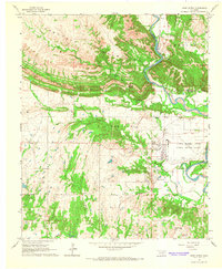
1964 · Gene Autry
USGS Topo · 1:24,000

1964 · Springer
USGS Topo · 1:24,000

1964 · Turner Falls
USGS Topo · 1:24,000
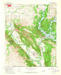
1965 · Dougherty
USGS Topo · 1:24,000