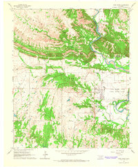
1964 Map of Gene Autry
USGS Topo · Published 1965About this map
The Arbuckle Mountains dominate the northern landscape of this mid-1960s survey, where the ridges descend toward the winding path of the Washita River. Near the center of the sheet, the small settlement of Gene Autry sits along the Santa Fe rail line, south of the mountain pass. The area reflects a transition from the rugged limestone terrain of the uplands to the industrial and agricultural flats further south. Notable landmarks of the era include the Ardmore Municipal Airport, which had recently been converted into an industrial airpark.
Find a feature on this map
32 named features on this map. Tap any name to fly to it.
Don’t see what you’re looking for? This feature index may not catch every label — zoom into the map to look around manually.
Map Details
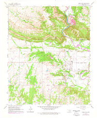
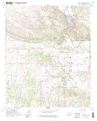
Editions of this 1964 Gene Autry Map
3 editions found
Other maps of this area

1901 · Tishomingo
USGS Topo · 1:125,000

1901 · Ardmore
USGS Topo · 1:125,000

1918 · Ardmore
USGS Topo · 1:125,000

1957 · Ardmore
USGS Topo · 1:250,000

1963 · Ardmore
USGS Topo · 1:250,000

1963 · Mannsville
USGS Topo · 1:24,000

1963 · Sulphur South
USGS Topo · 1:24,000

1963 · Nebo
USGS Topo · 1:24,000

1964 · Ardmore East
USGS Topo · 1:24,000

1964 · Ardmore West
USGS Topo · 1:24,000